Integration of Ground-Penetrating Radar, LiDAR, and Empirical Field Studies: A Multifaceted Analysis Comparing 1987 and 2019 field studies of the Durupinar Boat Formation known as “Noah’s ark”
References
Baumgardner, J. R. & Bayraktutan, M. S. (1987). "July 1987 Geophysical Investigation of Noah’s Ark (Durupinar Site) Mahşer Village, Doğubayazıt, Ağrı," unpublished research report, Atatürk University, Erzurum, Turkey.
Peace, M. (2022). 'What Is the Effective Depth of Ground Penetrating Radar?,' US Radar Inc. Subsurface Imaging Systems, February 28, 2022, www.usradar.com/blog/what-is-the-effective-depth-of-ground-penetrating-radar/.
Tice, P. (2024a). 'Capturing Noah's Ark - Mt. Ararat, Turkey,' LinkedIn, accessed March 12, 2024a, www.linkedin.com/pulse/capturing-noahs-ark-mt-ararat-turkey-paul-tice/.
Tice, P. (2024b) Noah's Ark Reality Capture Study,' LinkedIn, accessed March 12, 2024, www.linkedin.com/posts/topa3d_noahs-ark-reality-capture-study-activity-6848359745838026752-z-4E/.
Topa 3D, (2020). “Noah’s Ark - NUH_UN GEMİSI: Project Noah – Utilizing LiDAR, Photogrammetry, Ground Penetrating Radar and Thermography Reality Capture Mapping technologies for subsurface geospatial investigation in archaeological applications,” slide 9, February 2020, www.noahsarkscans.com/articles/Noah%E2%80%99s%20Ark%20-%20NUH_UN%20GEM%C4%B0-v2.pdf.
Topa 3D. (2024). accessed March 12, 2024, www.topa3d.com.
Wyatt, M. N. (2004.) The Boat-Shaped Object on Doomsday Mountain (Cornersville: Wyatt Archaeological Research), 90.
Peace, M. (2022). 'What Is the Effective Depth of Ground Penetrating Radar?,' US Radar Inc. Subsurface Imaging Systems, February 28, 2022, www.usradar.com/blog/what-is-the-effective-depth-of-ground-penetrating-radar/.
Tice, P. (2024a). 'Capturing Noah's Ark - Mt. Ararat, Turkey,' LinkedIn, accessed March 12, 2024a, www.linkedin.com/pulse/capturing-noahs-ark-mt-ararat-turkey-paul-tice/.
Tice, P. (2024b) Noah's Ark Reality Capture Study,' LinkedIn, accessed March 12, 2024, www.linkedin.com/posts/topa3d_noahs-ark-reality-capture-study-activity-6848359745838026752-z-4E/.
Topa 3D, (2020). “Noah’s Ark - NUH_UN GEMİSI: Project Noah – Utilizing LiDAR, Photogrammetry, Ground Penetrating Radar and Thermography Reality Capture Mapping technologies for subsurface geospatial investigation in archaeological applications,” slide 9, February 2020, www.noahsarkscans.com/articles/Noah%E2%80%99s%20Ark%20-%20NUH_UN%20GEM%C4%B0-v2.pdf.
Topa 3D. (2024). accessed March 12, 2024, www.topa3d.com.
Wyatt, M. N. (2004.) The Boat-Shaped Object on Doomsday Mountain (Cornersville: Wyatt Archaeological Research), 90.
Pages
121-133
Published
May 10, 2024
Copyright (c) 2024 Academician Publishing Book Portal
License
LicenseHow to Cite
1.
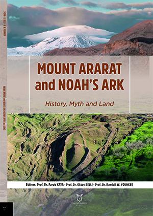
Jones A. Integration of Ground-Penetrating Radar, LiDAR, and Empirical Field Studies: A Multifaceted Analysis Comparing 1987 and 2019 field studies of the Durupinar Boat Formation known as “Noah’s ark”. In: Kaya F, Belli O, W. Younker R, editors. Mount Ararat and Noah’s Ark History, Myth and Land [Internet]. Türkiye: Academician Publishing Book DOI Portal; 2024 [cited 2026 Jul. 13]. pp. 121-33. Available from: https://omp35.books.akademisyen.net/index.php/akya/catalog/book/3101/chapter/10296